

Improving Small-Plantation and Woodlot Inventory
- In:
- 2017 Forest Growers Conference
- Report No:
- AC2017-28
- Report Date:
- October 18, 2017
- Author(s):
- Jonathan Dash: Scion
Conference presenter: Jonathan Dash, Scion
Presentation: Improving Small Plantation and Woodlot Inventory
This project is exploring ways of using emerging technology in a cost-effective way for small forest inventory. Accurate inventory is expensive for small forest owners because of the disproportionately large sample size needed in small forests (i.e. number of plots or trees measured per hectare) to ensure samples accurately represent the whole woodlot area.
Remote sensing approaches that are currently being developed for forest inventory offer very real benefits to large forest owners, but are not well suited to small forests. Also, few small forest owners have the technology or skills to interpret remotely captured data, so consultants have to be employed, adding further to costs.
With small forest owners specifically in mind, researchers aim to:
- investigate approaches that make forest measurement more cost effective and/or better
- make the benefits of remotely sensed data and new statistical methods available.
UAVs for woodlot inventory
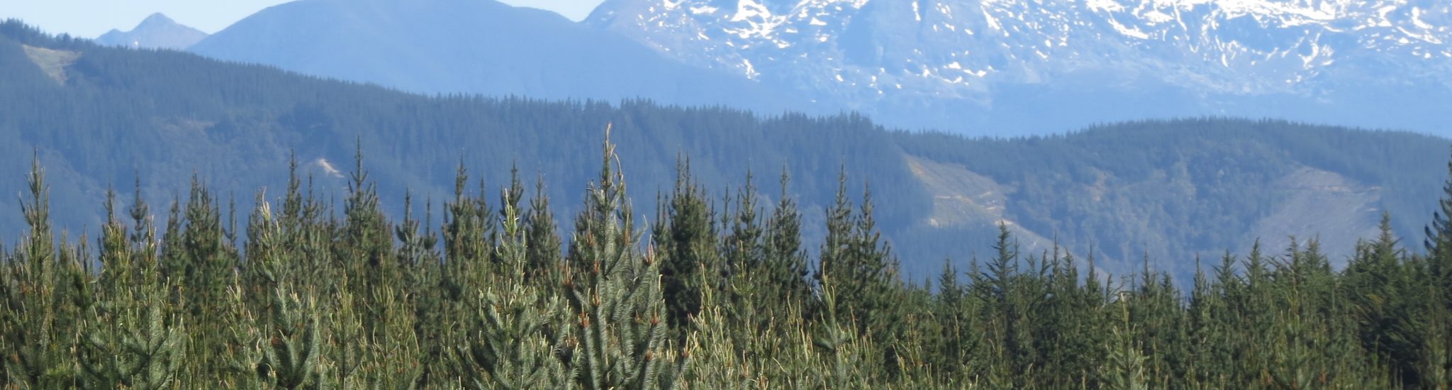
The potential to use UAVs for inventory is being investigated: the rapid development of UAVs, including associated miniaturised scanners, is exciting. Sampling of a case-study 40-hectare woodlot in the central North Island using a UAV is complete, and methods for generating three-dimensional information on the forest canopy using the imagery captured have been developed. Further analysis, leading to recommendations on sampling design, statistical techniques, and practical data collection methods, is underway.
A community approach
Another option being considered by researchers is the potential to amalgamate and share data from a community of woodlot owners.
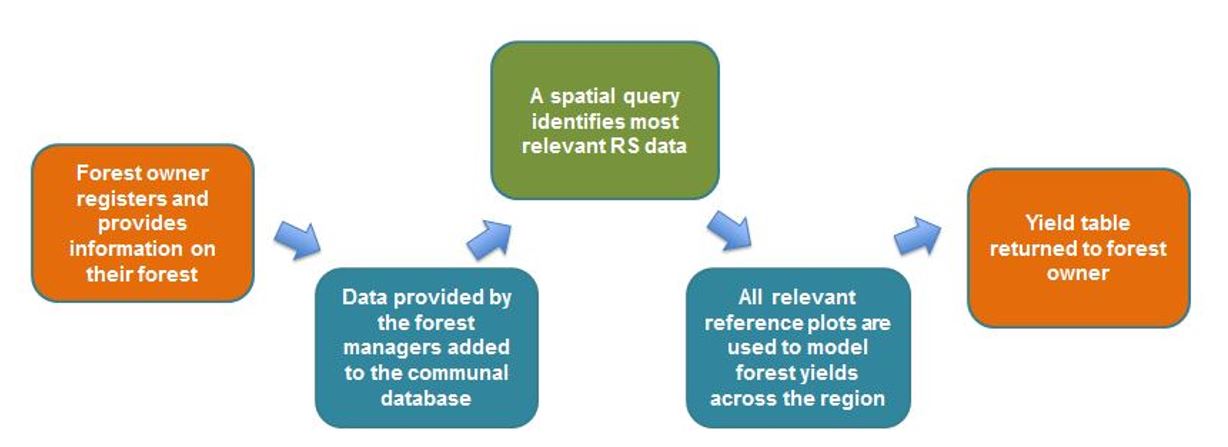
For this approach to be successful, researchers need to engage with a community of small forest owners who would be willing to contribute to a database of field plot data, ideally using data that they have, or would be, going to collect anyway. This information can then be combined with other freely available remotely sensed data collected by regional or national authorities to generate forest assessments for individual woodlots.
Presentation below.
- Document:
- 28 Improving Small-Plantation and Woodlot Inventory (3.28 Mb)